Here are some more picture from my trip to summit Mt. St. Helens.
 [1]
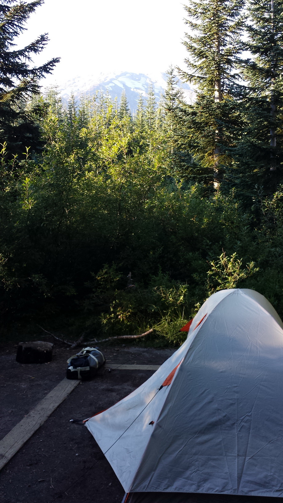
[1]My tent, with Mt. St. Helens in sight.
 [2]
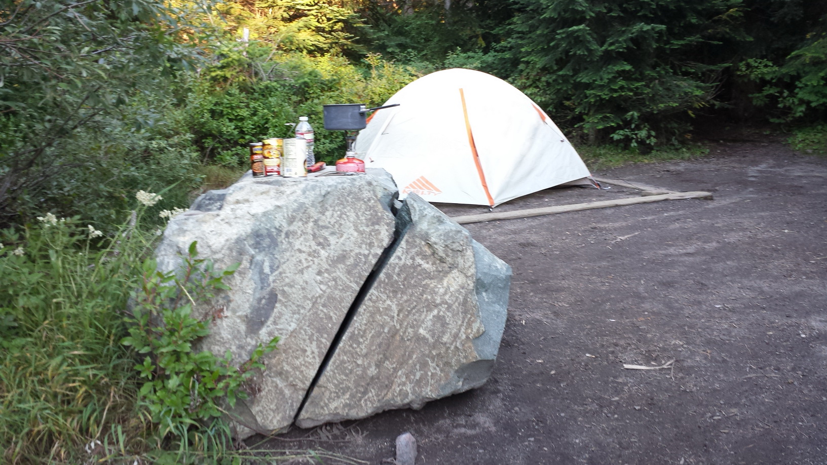
[2]I ate some soup and beans, and then hit the sack before 8 PM.
 [3]
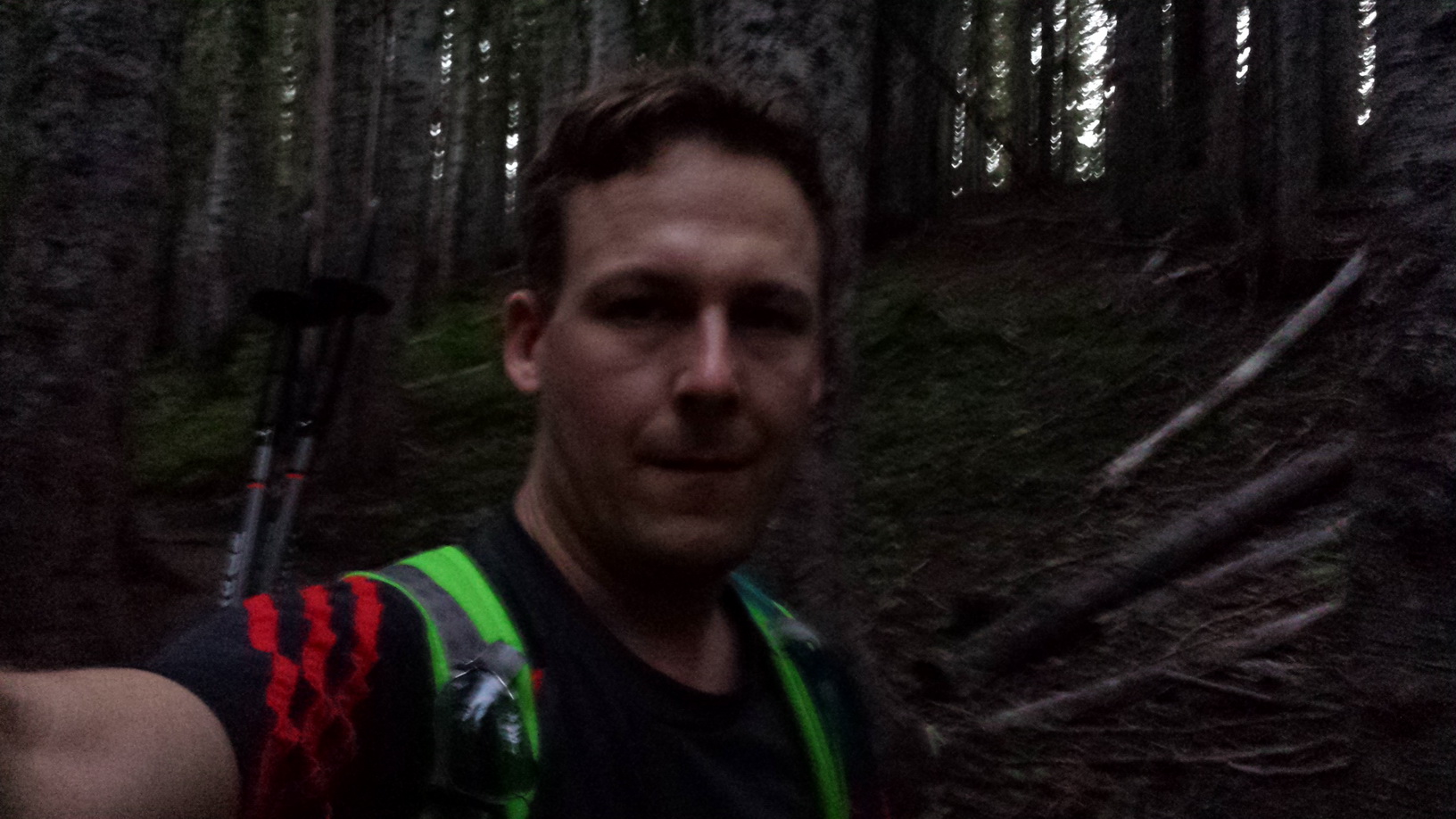
[3]I broke camp shortly after 5 AM and hit the trail before sunrise.
 [4]
[4]The first 2 mi were a fast hike through forest, until I reached Monitor Ridge.
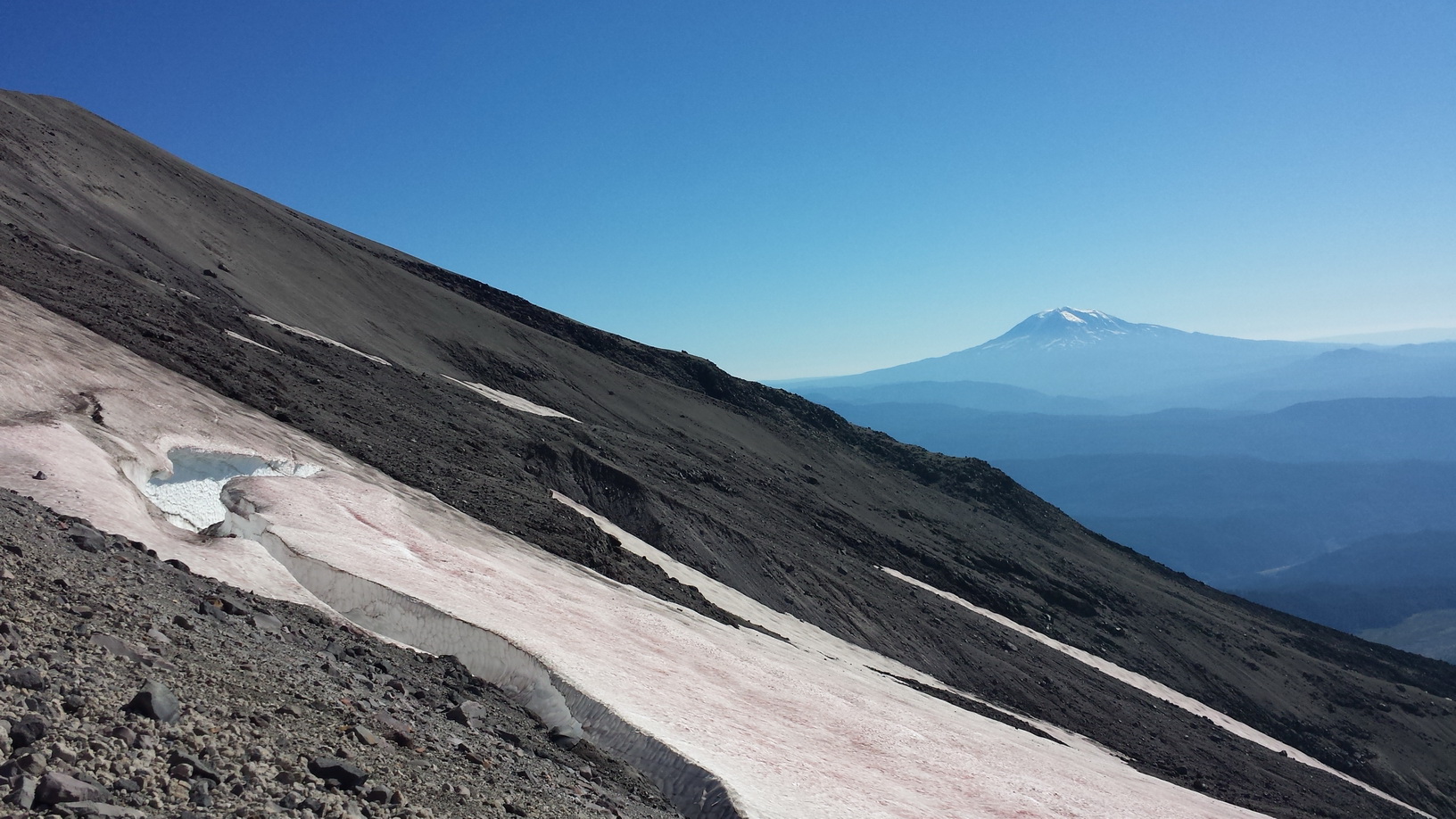
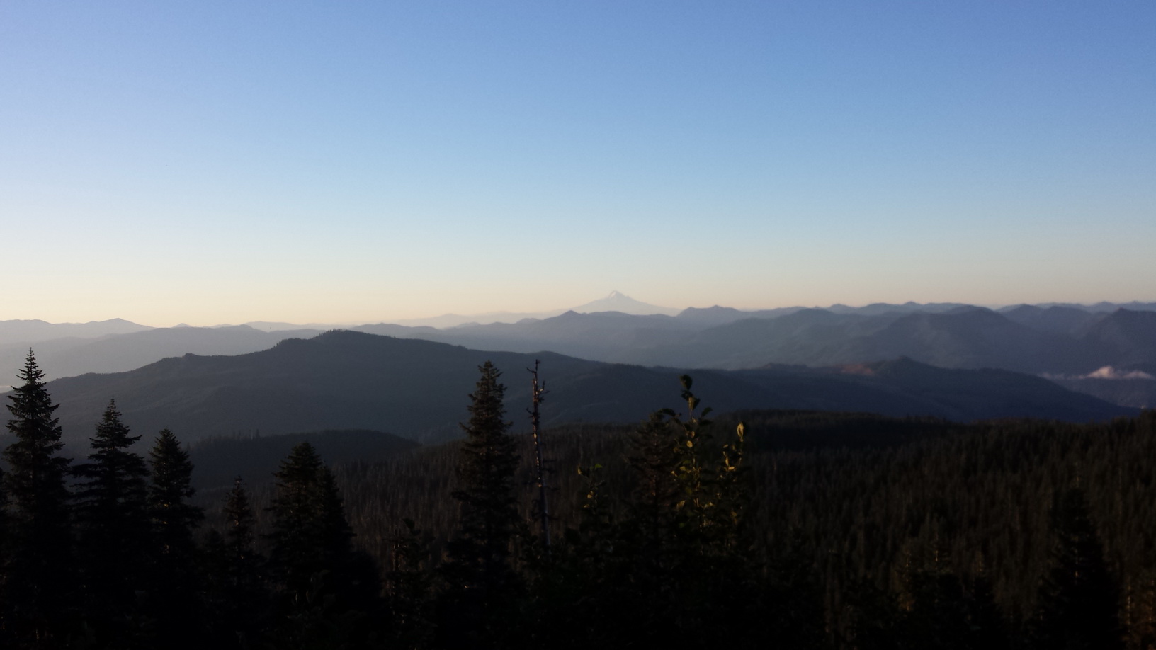 [5]
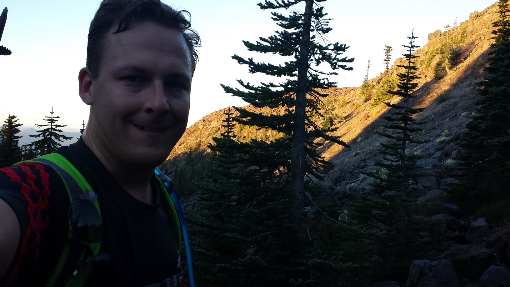
[5]Once the forest cleared, I could see Mt. Hood in the South.
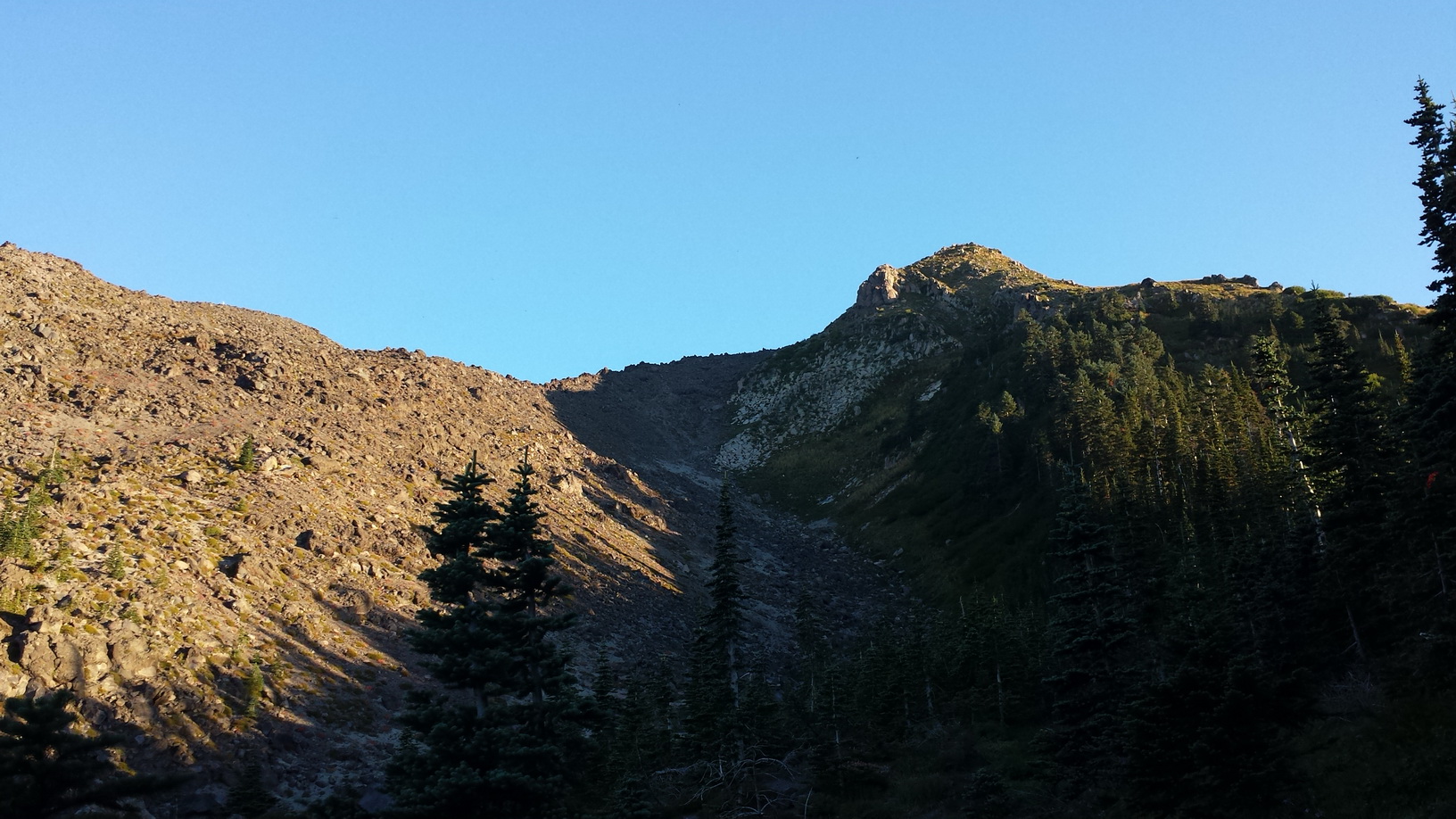 [6]
[6]Monitor Ridge looked intimidating.
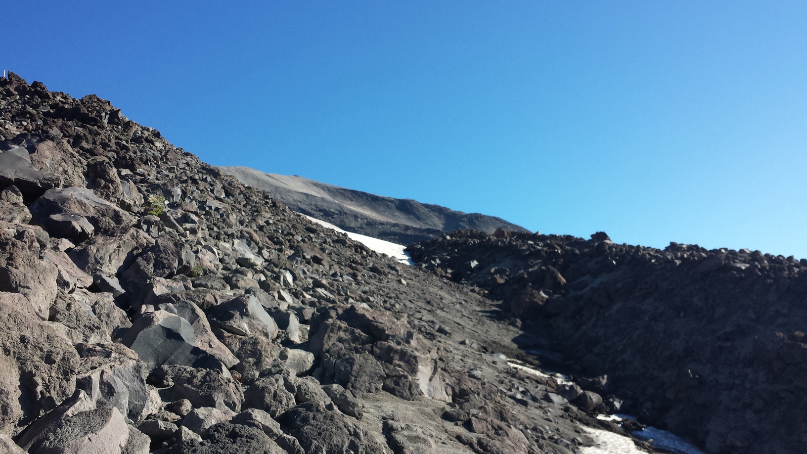
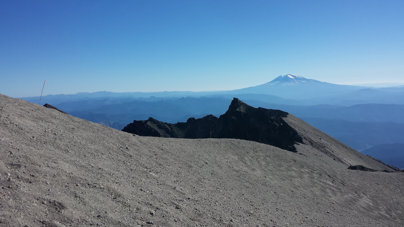
 [7]
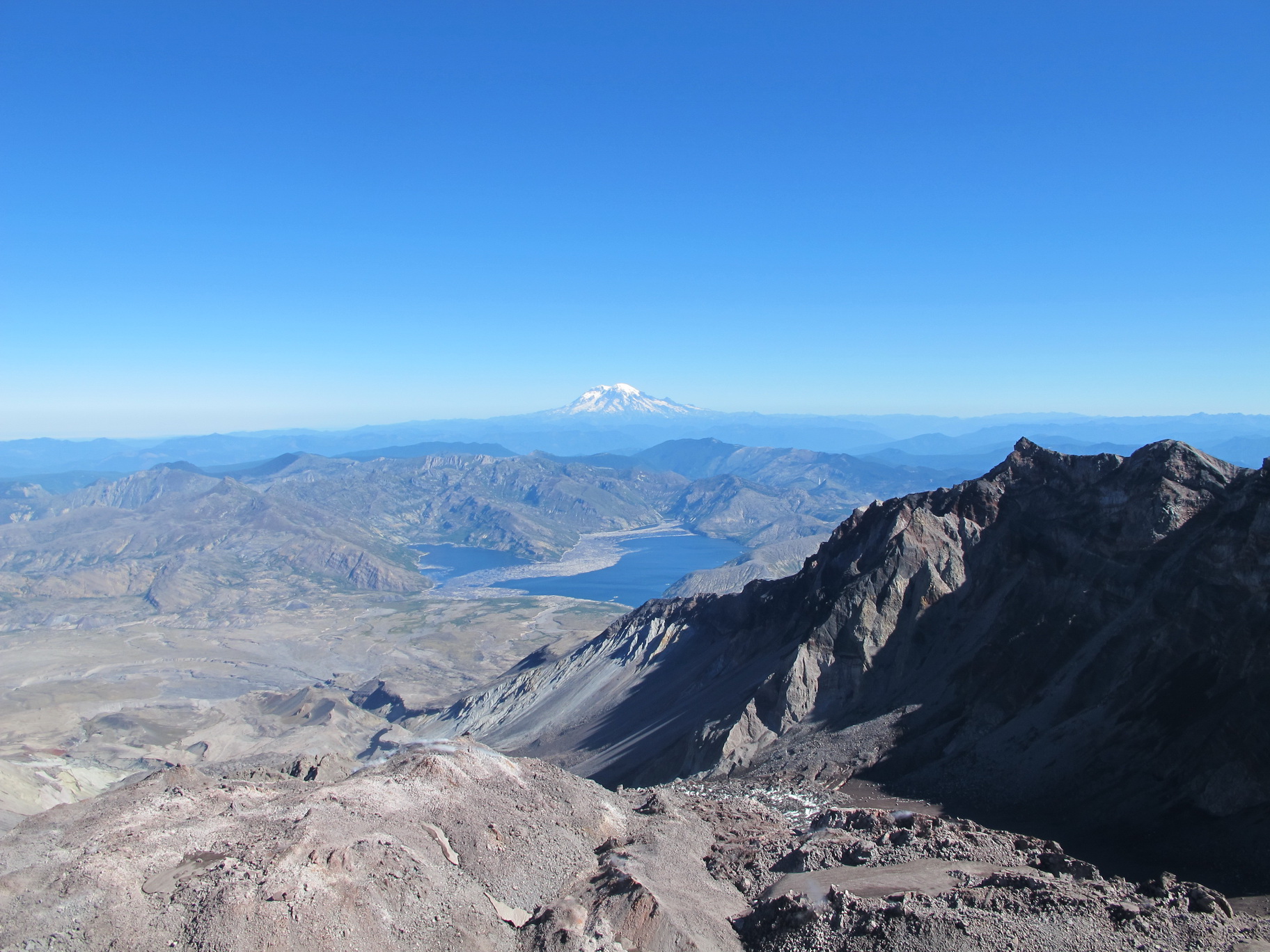
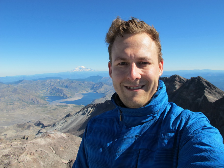
[7]Once I was up and over that ridge, I was in the shade. Another advantage of leaving early.
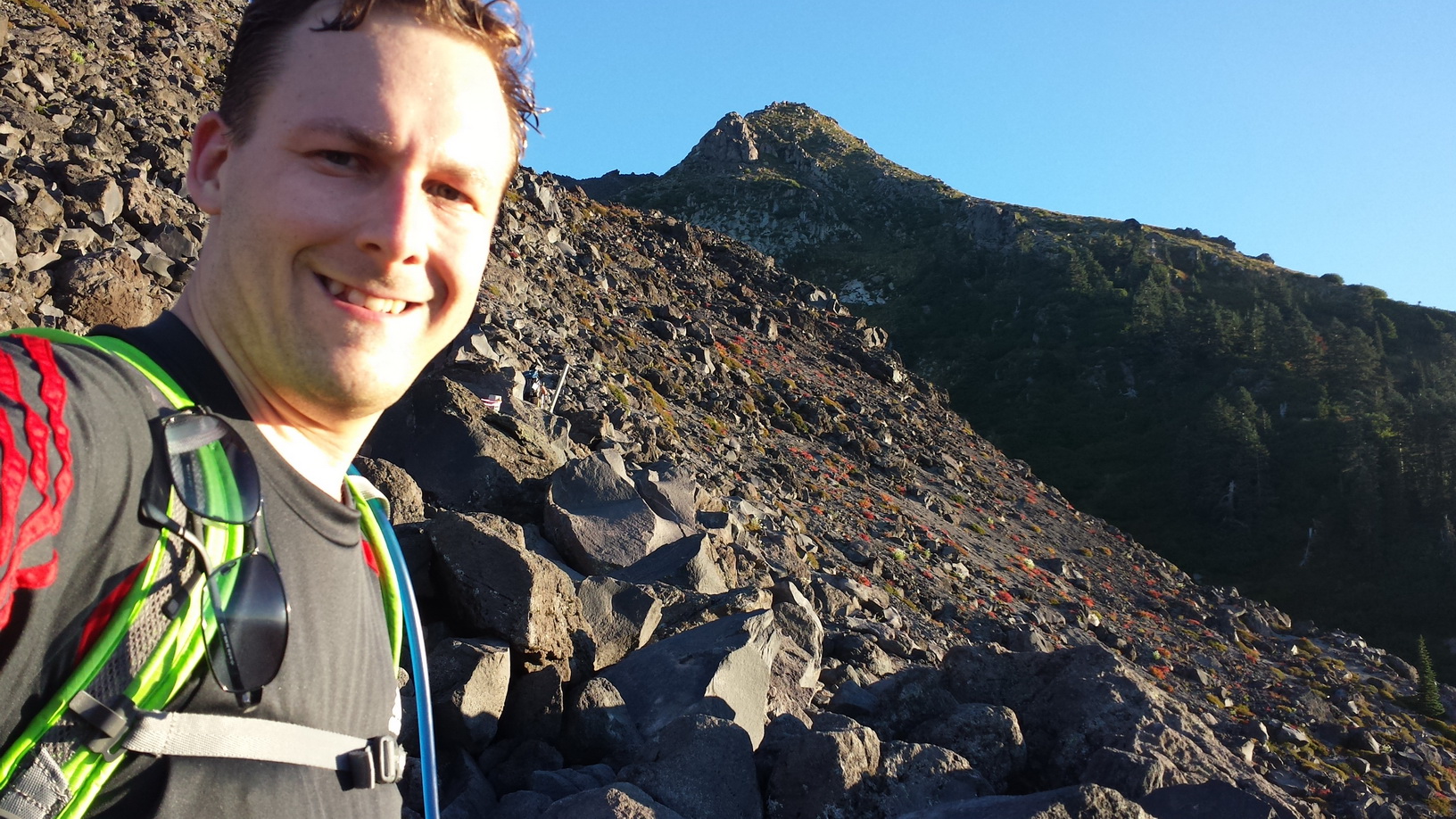
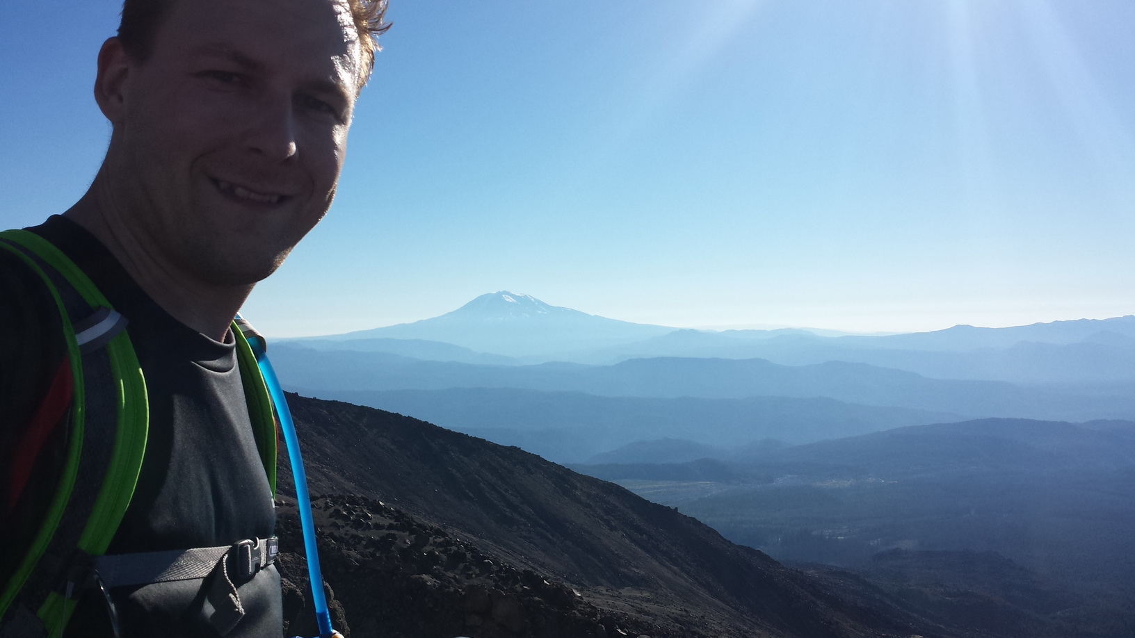
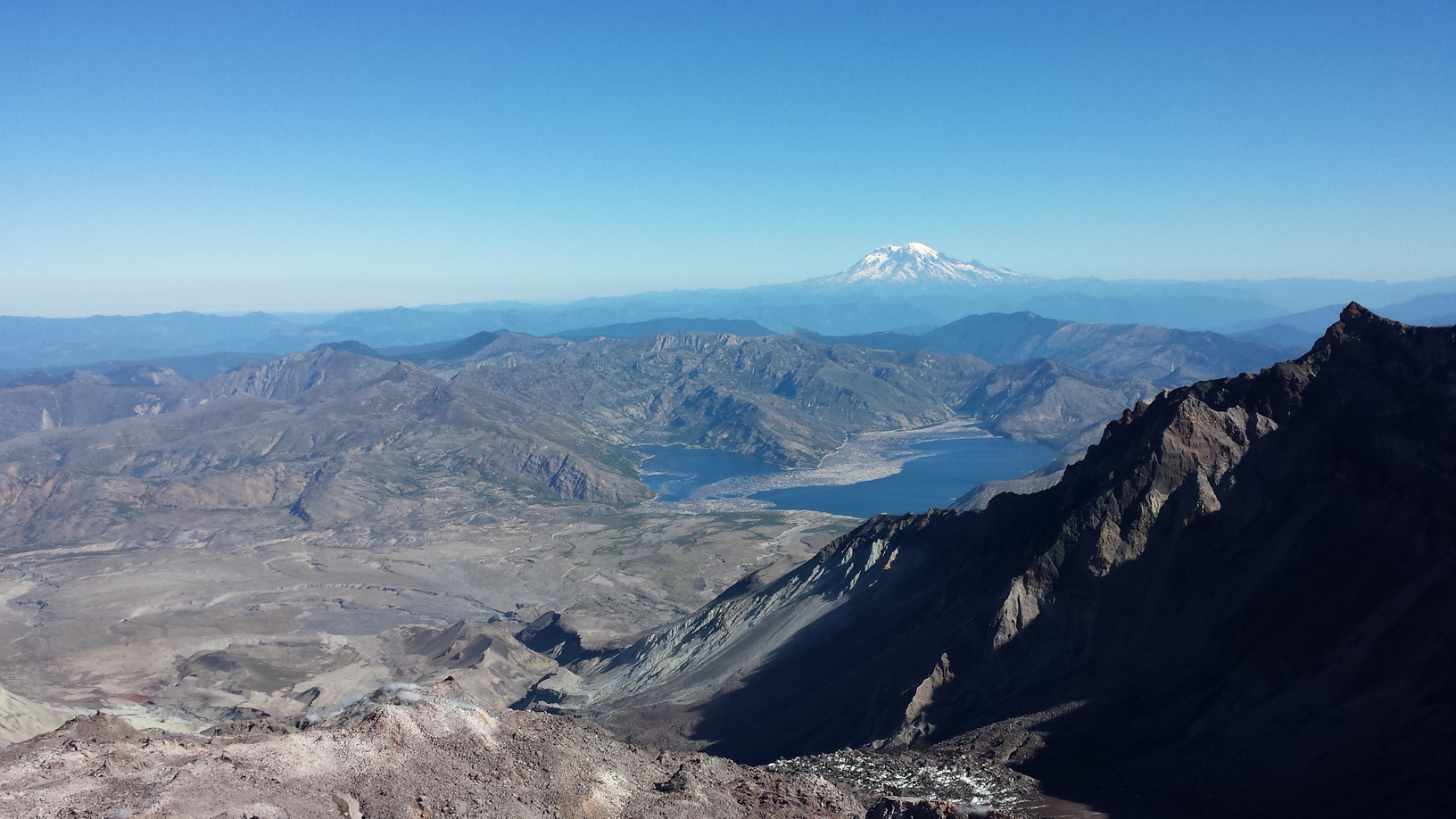
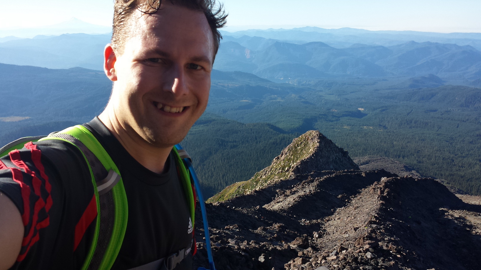 [8]
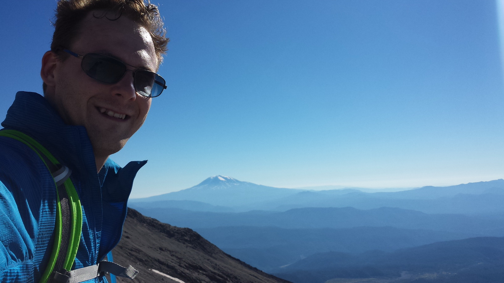
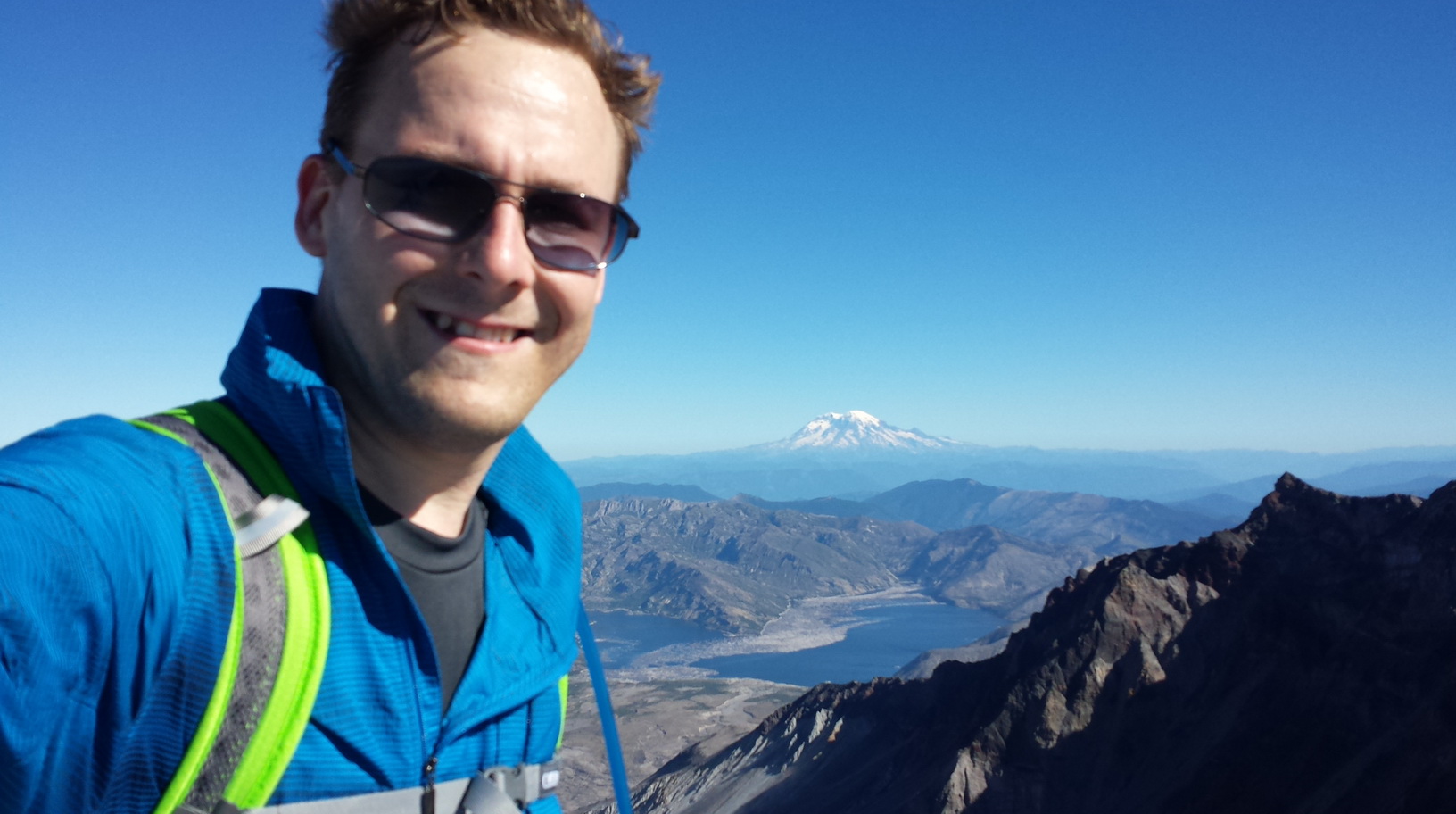
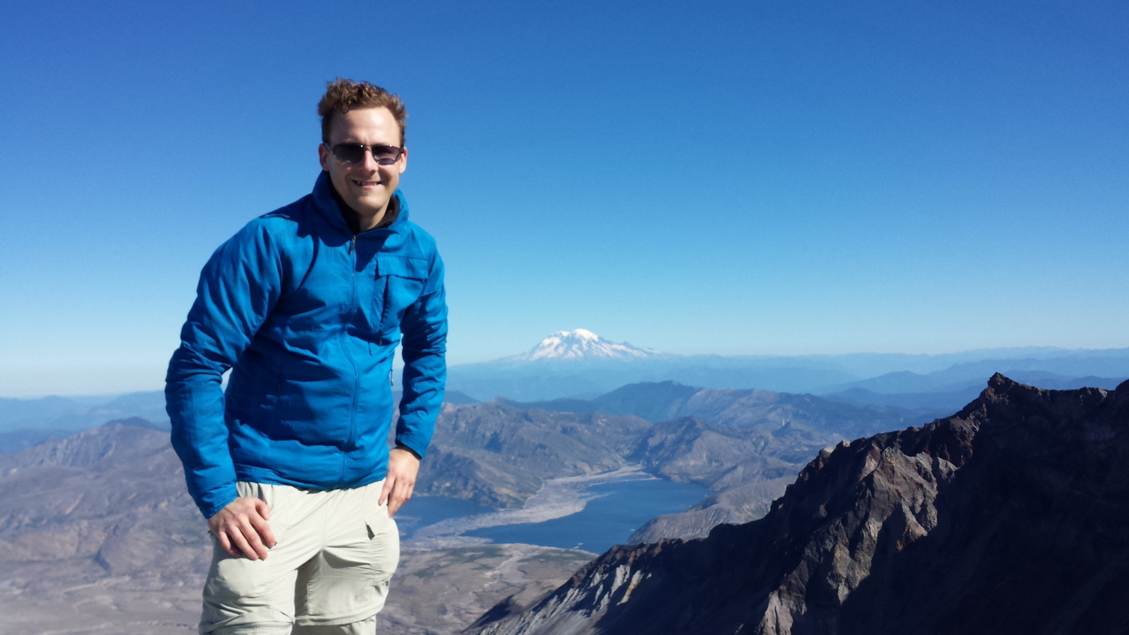
[8]This is looking down Monitor Ridge to the South.
 [9]
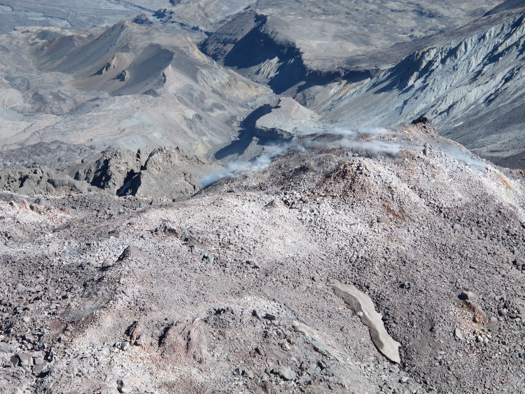
[9]There wasn’t a whole lot of snow left anymore, but some glaciers never melt.
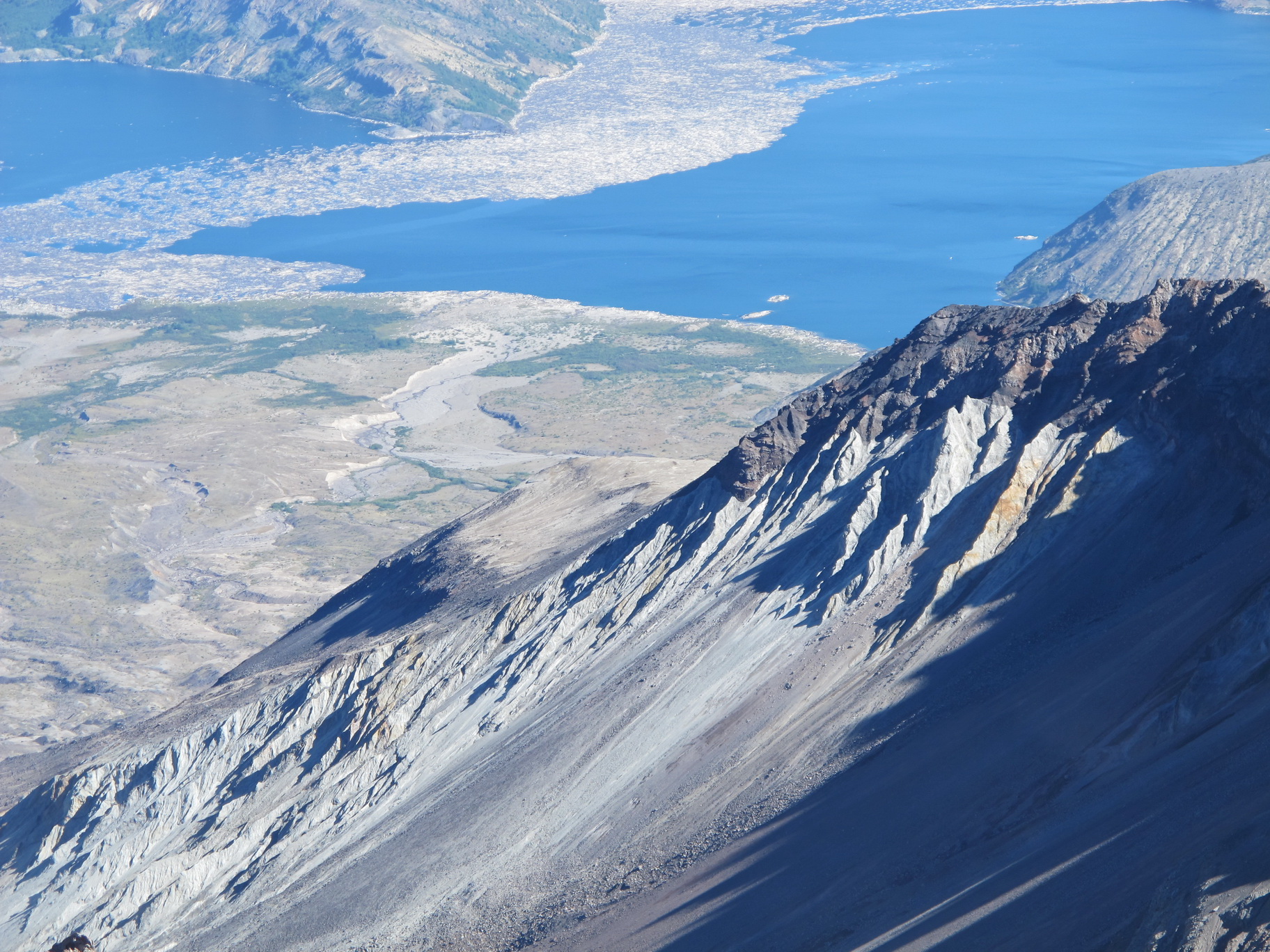
 [10]
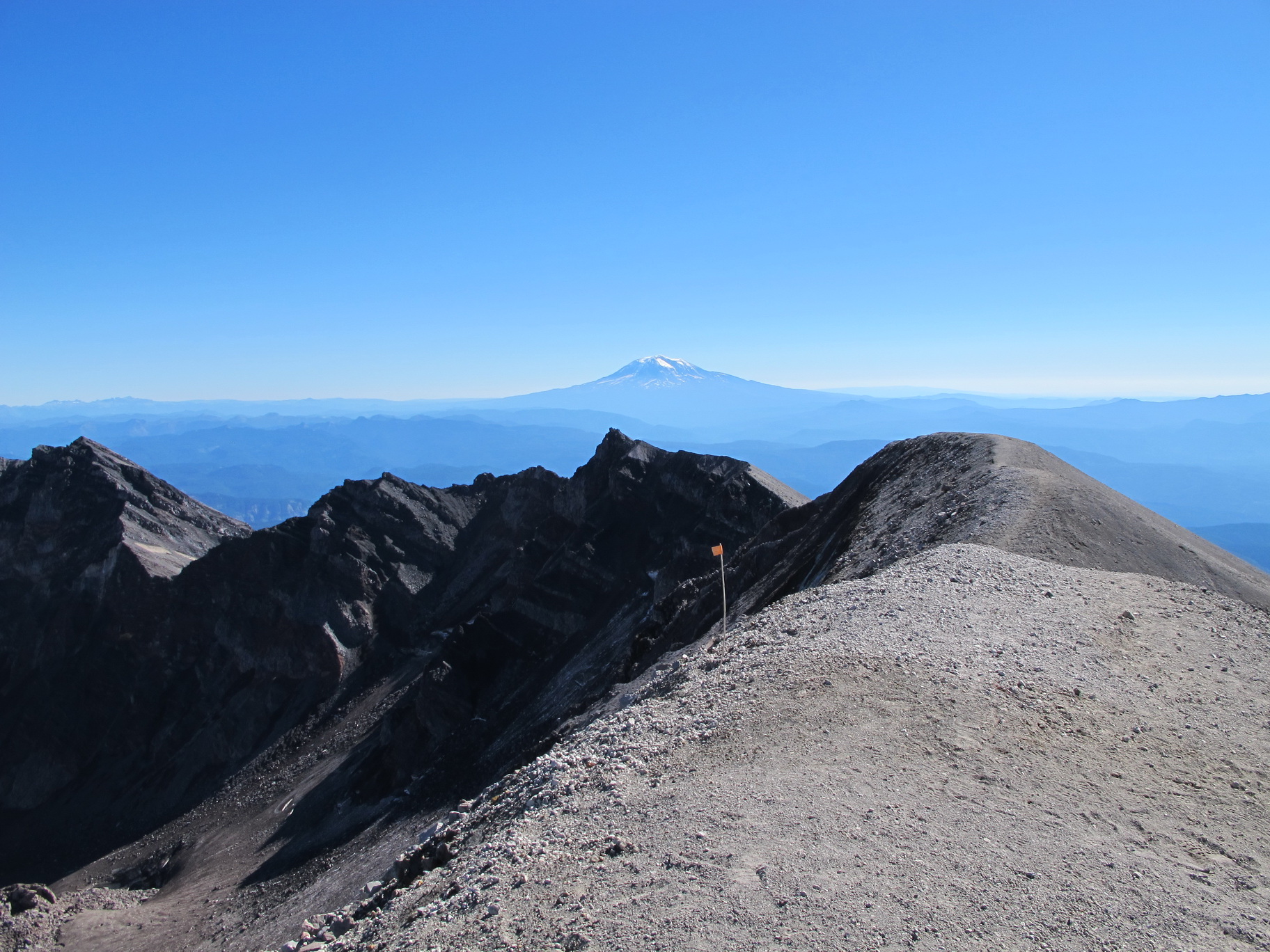
[10]Once I was a bit higher up, I could see Mt. Adams in the East.
 [11]
[11]The snow looked inviting, and at first I considered glissading down, but then I saw this giant crevasse.
 [12]
[12]It was getting pretty windy, and I had to put my windbreaker on.
 [13]
[13]After trudging through an eternity of pumice, I reached the peak and the crater rim.
 [14]
[14]The view from the peak was glorious.
 [15]
[15]I could see Mt. Rainier, Mt. Adams, Mt. Hood, Mt. Jefferson farther south in Oregon, and even Mt. Baker 170 miles to the north.
 [16]
[16]When I got to the top, only three other hikers were there. A father and son took my picture.
 [17]
[17]The force it took to blow away half of the mountain is difficult to contemplate.
 [18]
[18]The magma dome in the crater is growing. The steam is evidence of active volcanism.
 [19]
[19]Over 30 years after the explosion, there are still thousands of trees in Spirit Lake.
 [20]
[20]It was a great trip.
 [21]
[21]I may have summit fever. Is Mt. Adams next?
 [22]
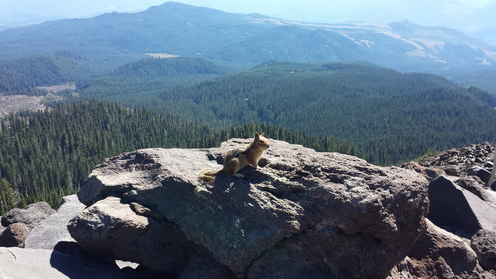
[22]On the way down, I saw a chipmunk that wasn’t afraid of me at all.
Like I already mentioned, it took me about 4 hours up and 3 hours down. I had taken 4 liters of water with me, and I ran out about 20 minutes before I got back to the trailhead. I wish I had had a bit more. I took a few salt tablets with me, and I think that helped me a lot. I didn’t have any issues with cramps.
I had my trekking poles with me, a windbreaker, a fleece, sunglasses, and a hat. I definitely needed all that. What I was almost the most glad about, though, was having taken gloves with me. On the climb down, I often needed to use my hands instead of my trekking poles.
I’m not sure how much more I could do. 7 hours, 10 miles, and 4500 ft climb was quite a bit. But some say you can day-hike Mt. Adams. Or camp at 9000 ft. The roundtrip is 16.0 mi, with 6700 ft elevation gain. Next year…?
